themetix logo   THEMETIX | themes & sites
WordPress Interactive Map of the US Regions plugin, website examples, recent website updates

Interactive Map of the US Regions WordPress plugin

18 active sites

Interactive US Regional Map plugin for WP featuring region selection, custom landing pages and popup windows. Free, easy install, simple adjustment.

This plugin allows you to embed a colorful Interactive map of USA into your WordPress powered site by a few clicks!

Whenever you need to give your visitors a simple yet effective way to navigate through regional sections of your site, or if you want to provide some geography-related information to your visitors, Fla-shop.com interactive HTML5 map plugin is a one-stop solution. The plugin allows you to display a detailed map by simply adding a special tag into the main content of a page or a post. Thanks to visual editing of map's properties and effortless installation, the map can be deployed in merely few minutes.

For even more features, try the Premium U.S. Map

Features:

  • Map of Census divisions of the US
  • Works on iPad and iPhone. No Flash

clickable map, dealer map, html5 map, interactive map, javascript, map, maps, svg map, United States, us map, usa

Themes and plugins by wordpress.org   Interactive Map of the US Regions Details


Explore Plugins Similar to Interactive Map of the US Regions Based on Usage

Discover plugins related to Interactive Map of the US Regions ranked by popularity and active website deployments. Select from the list below to see plugins with a similar number of active installations.

WolfNet IDX for WordPress website example screenshot

WolfNet IDX for WordPress

17 sites
Tradetracker-Store website example screenshot

Tradetracker-Store

17 sites
WP Reel website example screenshot

WP Reel

17 sites
Simple Rating website example screenshot

Simple Rating

17 sites

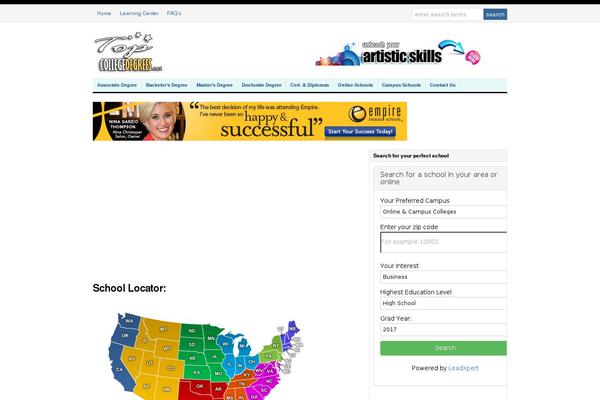
Recent update chart Interactive Map of the US Regions by active site count on Themetix (May, 2024)

Recent changes in the number of sites for the Interactive Map of the US Regions plugin

How was changed amount of active sites built with Interactive Map of the US Regions plugin for the research period (May, 2023 - May, 2024):

From June to July website amount increased by 0 sites: 0.00%
From July to August website amount increased by 0 sites: 0.00 %
From August to September website amount increased by 2 sites: 28.57 %
From September to October website amount decreased by -1 sites: -11.11 %
From October to November website amount increased by 1 sites: 12.50 %
From November to December website amount increased by 2 sites: 22.22 %
From December to January 2024 website amount increased by 1 sites: 9.09 %
From January to February 2024 website amount increased by 1 sites: 8.33 %
From February to March 2024 website amount increased by 5 sites: 38.46 %
From March to April 2024 website amount increased by 0 sites: 0.00 %
From April to May 2024 website amount increased by 0 sites: 0.00 %

18 random examples of websites built with Interactive Map of the US Regions WordPress plugin

Here are some examples of websites built with the Interactive Map of the US Regions WordPress plugin. Compare website design and content. Evaluate the design of websites. Test the performance of other websites using Interactive Map of the US Regions plugin, before applying this.